


Crissey Field State Park to Lone Ranch in Samuel Boardman State Park (actual date Saturday, 5/24/14)
Day one was a bit more eventful than I expect subsequent days will be. I had been in Kelseyville, CA visiting my Grandma, Auntie and cousins which meant that before any walking could happen, a mini road trip was in order. I offered to take the wheel for the five hours to the border town, Crescent City, where we stopped to grab a bite to eat at, of all places, Denny’s. I haven’t eaten at a Denny’s in a decade. It’s not really a place that vegans go for a dinner out. My Gram ordered the Moons Over My-Hammy and I was reminded of my pre-vegan days when I wanted that but wouldn’t dare order it. For the same reason I wouldn’t order the Roottie-Tootie Fresh and Fruity from IHOP. Better to just keep things simple.
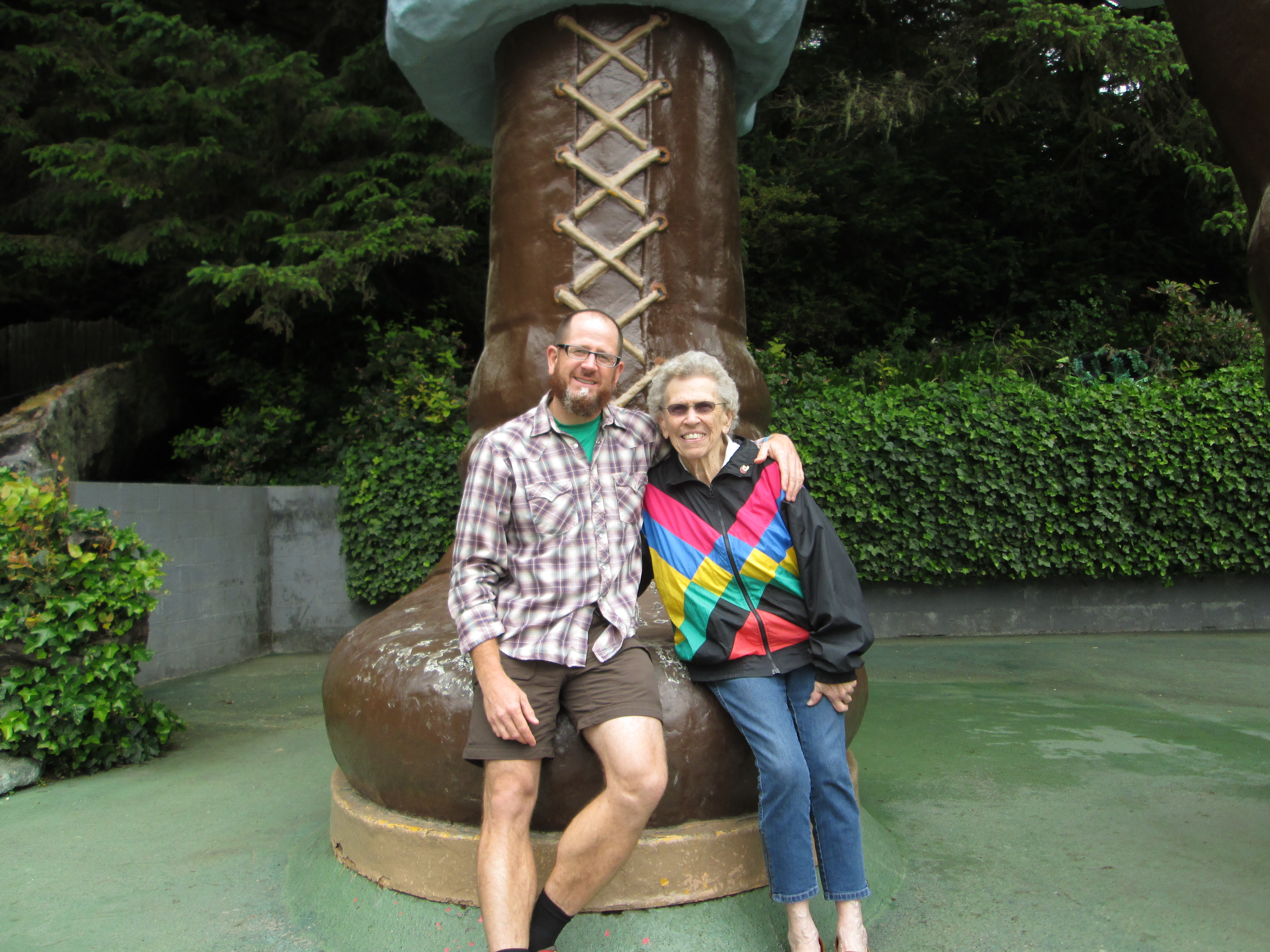
We reminisced about our stop at the Trees of Mystery in Klamath. How that giant Paul Bunyan and his Ox stand out in my childhood mind as one of the most glorious places a kid could possibly visit. Maybe it’s something about Paul’s giant, shiny brown boots and that you can sit on them. Maybe it’s the house-sized axe slung over his shoulder. But today I was not impressed. And further dismayed by the fact that Paul now talks and his voice sounds like that of a high school sophomore. I expressed my disappointment aloud, saying, “This is totally weird,” and was refuted by Paul. “This is not weird,” his voice cracked. “Let’s take our photo together.” A young couple was taking turns snapping iPhone pics, no doubt for their Facebook pages, with Babe’s giant blue testicles. So I supposed reliving my youth a bit and hopping up on Paul’s instep wouldn’t be a big deal.
We crossed the Oregon border and made the nearly immediate left into Crissey Field State Park. Here was the official end of the Oregon Coast Trail (OCT) but for me, the starting line. I bid my Gram and Auntie farewell and just like that, they drove off. It was on.
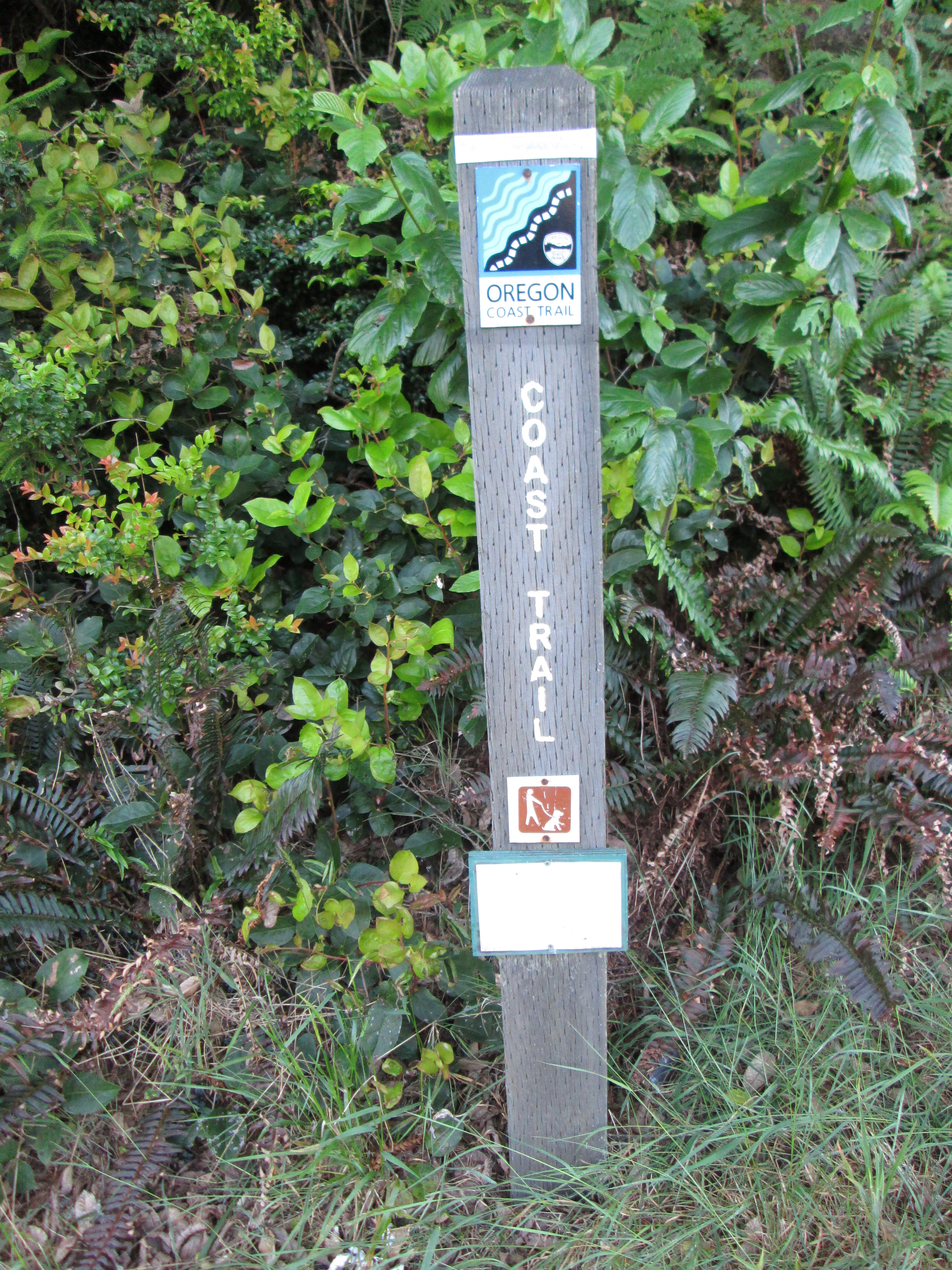
I first followed a trail south to get as close to the CA/OR border as possible, then about-faced and took the first step of my 400-mile journey. For the next hour, I literally walked in circles. I followed the OCT signs but they ended up being of little use. Eventually I just walked back out out to the 101 and settled into a nice clip northbound. By then it was nearly 4:00. I only wanted to knock out like 10 token miles so I figured I was still good to go.
Fortunately I had written out and laminated a ten-page, detailed map of directions that I transcribed backwards from the State of Oregon’s north-south route (with a little help from Google Maps satellite). I followed it onto some backroads and started breathing the late afternoon air, feeling relieved that my six-months of prep were getting ready to pay off. I made it into Brookings as folks were setting up for Sunday’s antique car show. I walked past pan-handling hitch-hiker who didn’t even bother asking me for money. I wished him luck getting a ride and he said, “Patience is a virtue.”
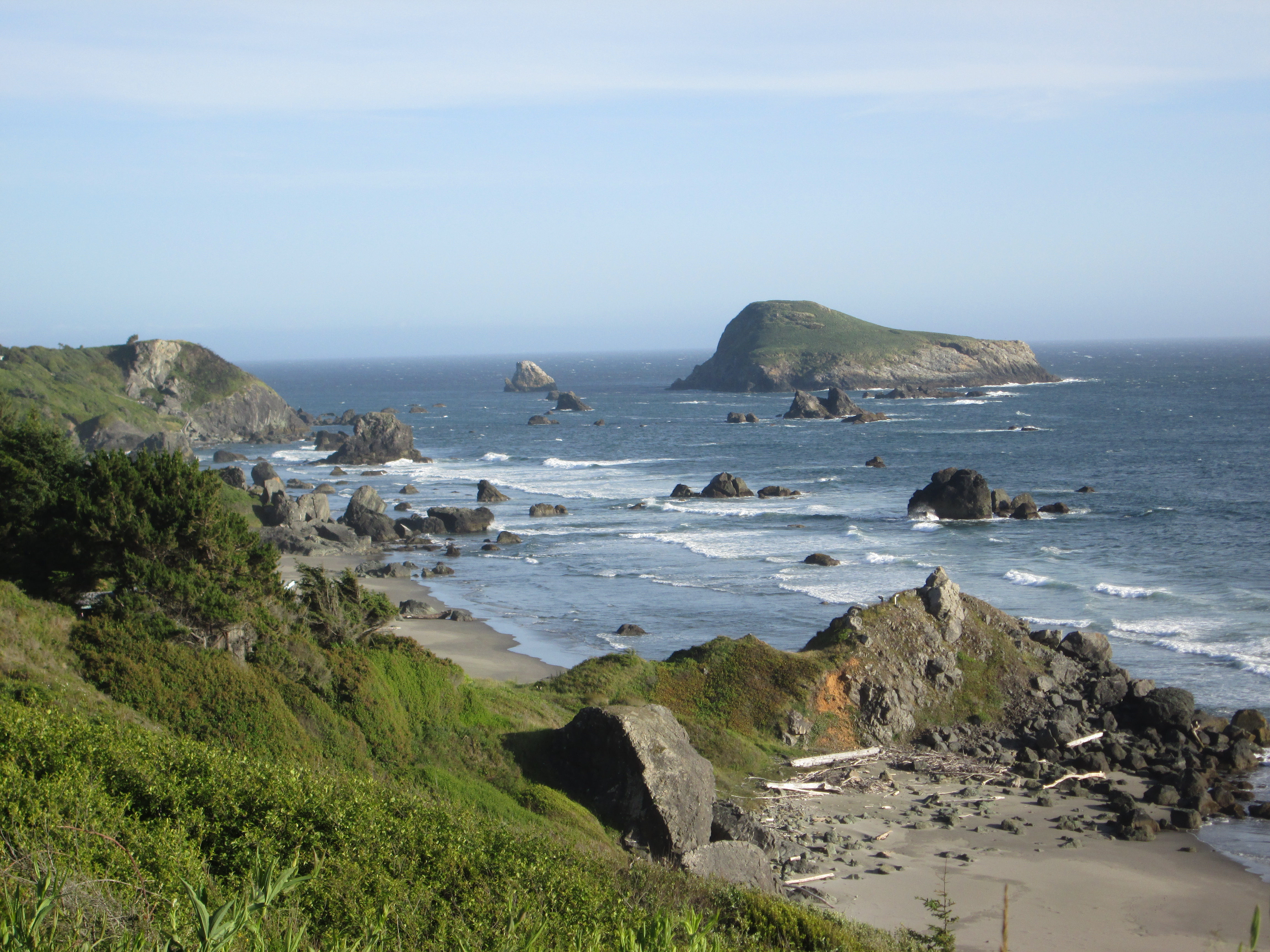
Harris Beach was next. The trail led me through a parking lot, past a bathroom and water fountain and eventually to the sand. But when the beach petered out after less than a mile I navigated through a private beach community back to the highway. Then I simply walked and walked. Everything was perfect. I felt strong. I originally regretted the gut-filling veggie burger and giant portion of Denny’s fries but now I was happy for the extra calories. I did, however, manage to freak myself out a little bit by thinking about the whole three-weeks bit. I consoled myself with a mantra, “One day at a time, Griffen. One day at a time.”
When I reached Samuel Boardman State Park I knew I must have been moving along much quicker than planned. I was pushing 15+ miles and still had quite a bit of daylight left. I found a Bob Boone baseball card from 1990 and took it as a sign. Of what? I couldn’t be sure.
I started to wonder about water. Did I have enough? Would there be another fountain ahead? I was burning though my 3-liter Camelbak pretty quickly but the last few parking areas had no services (no restrooms or water fountains). Shit. I should have filled up my Camelbak at Harris Beach. I opted not to push my luck and took the OCT trail into the Lone Ranch area. I “forded” a creek whose bridge was removed for the winter, getting my feet wet. Then I climbed to a point that looked down onto the coast, pitched my tent and called it a day. I hoped that the creek-crossing would keep most people off this particular trail. It was a glorious first campsite and I wanted it all to myself.
Legendary sights at the Trees of Mystery, Klamath, CA

Me and my Gram on Paul’s fantastic boot.
Somewhere near Harris Beach, OR
Oregon Coast Trail Marker, setting a bad precedent.
Campsite for night #1.


Great start to your Oregon Coast Trail thru hike blog.
Was wonderin about the location of your first nights camp. Any more details?
LikeLike
Pretty sure that site was just north of Lone Ranch Creek. It was a no-camping area, for sure, and not too far from the parking area. But I was too tired to care. 🙂
LikeLike